
Hiking in Colombia
Colombia packs an unusual amount of landscape into short distances. In a single region you can walk through cloud forest, cross a páramo —a high-altitude moorland that exists almost nowhere else on earth— and finish the day in a warm valley full of coffee farms. Add waterfalls, a desert, wax palm valleys and Pacific rainforest, and you have most of what is on this page.
Two things surprise most visitors. The first is altitude: many trails start above 2,000 metres, so a walk that looks easy on paper can feel much harder. The second is that seasons here are wet and dry, not summer and winter; the same trail can be a pleasant walk or a mudbath depending on the month.
Every guide below is written from having walked the trail: how to get to the start, what you pay at the entrance, how long it actually takes, and whether you need a guide. The routes range from a two-hour waterfall walk to multi-day treks.
Why we insist on local guides who speak English. Trail signage in Colombia is limited and many trailheads are on private land or inside protected areas. With a guide who speaks your language you can ask, instead of guessing your way through directions, permits and weather.
Trails
-
Bahía Málaga
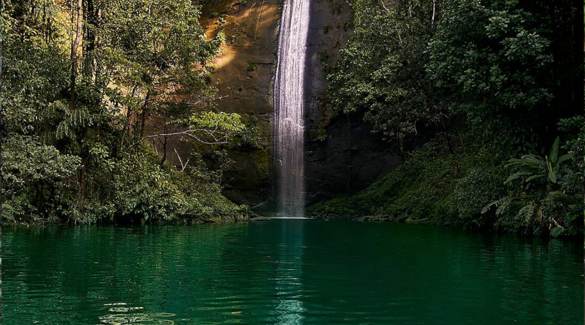
-
Barbas Bremen Nature Reserve Hiking Guide | Filandia
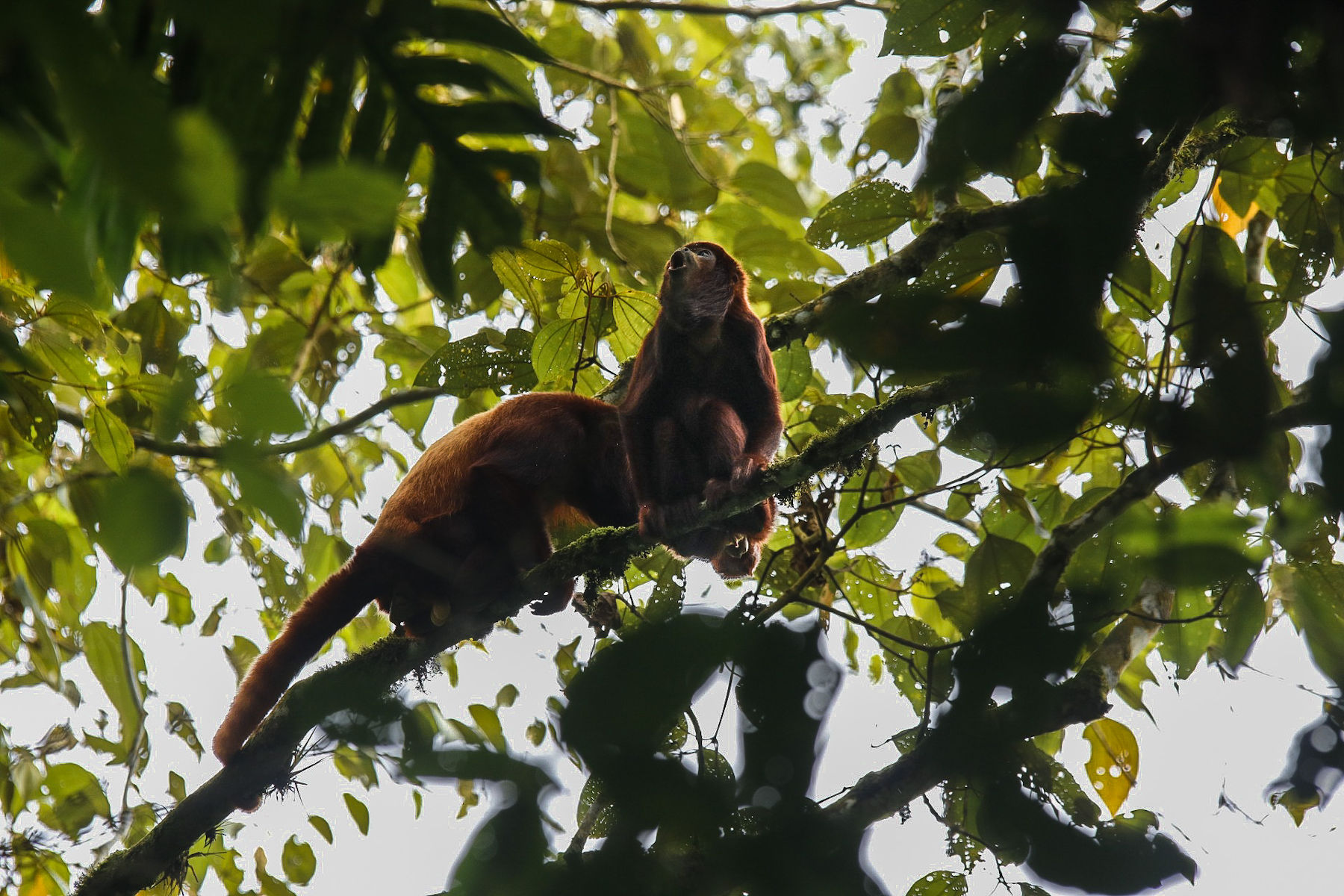
-
Cerro Tusa Hiking Guide | Venecia, Antioquia
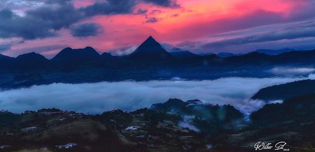
-
Cerros de Mavicure Trekking Guide | Inírida, Guainía
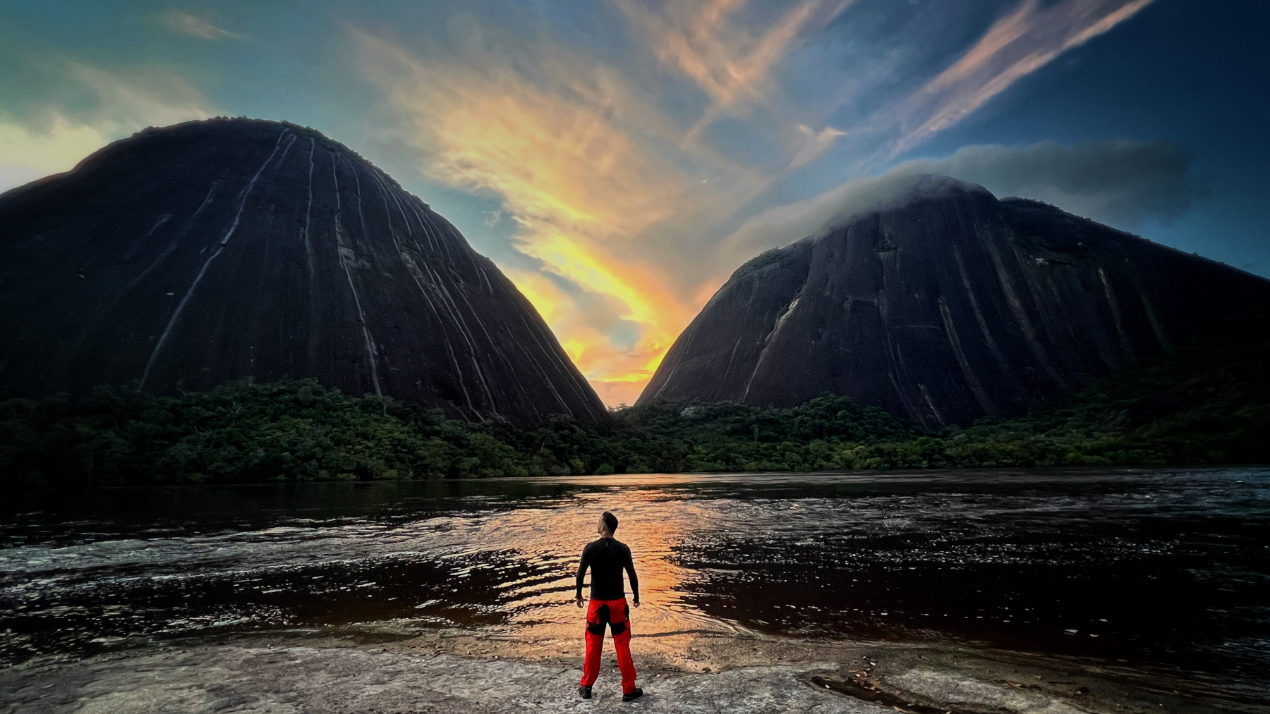
-
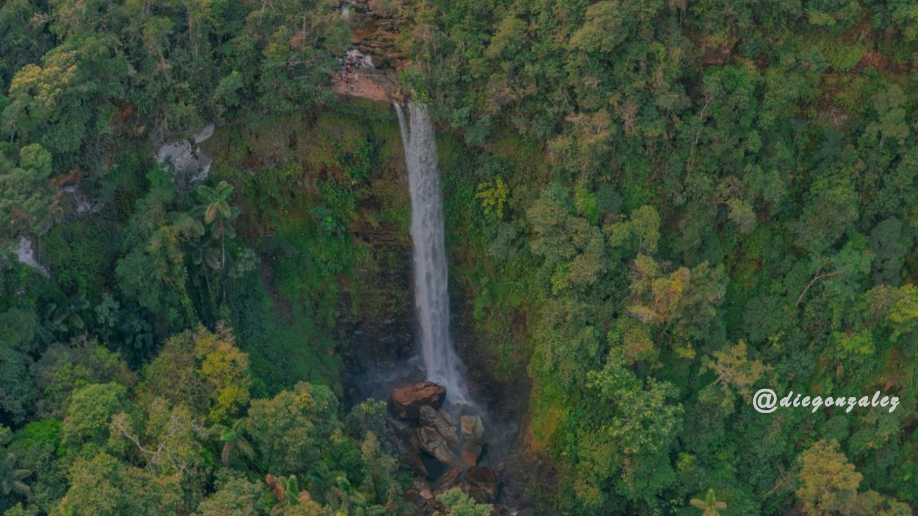
Cascada el Fin del Mundo
-
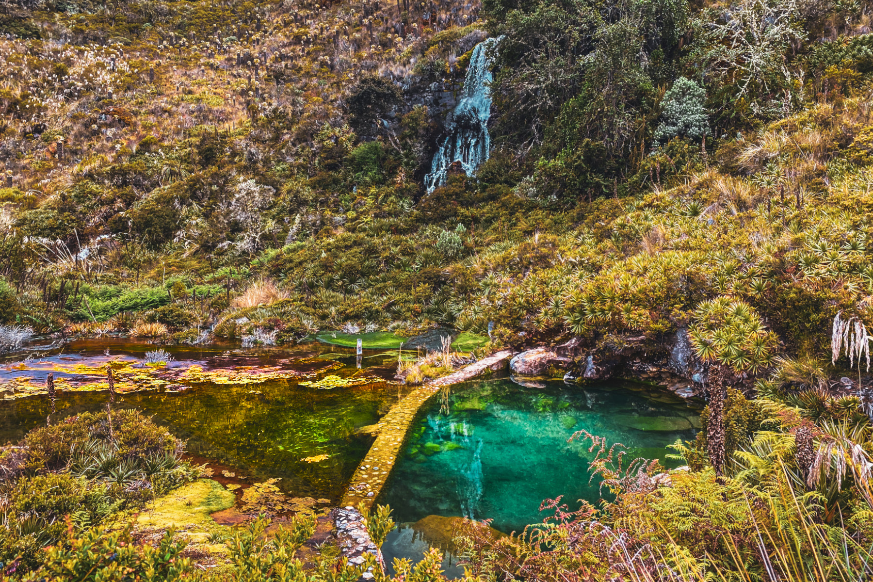
La Cabaña Hot Springs
-
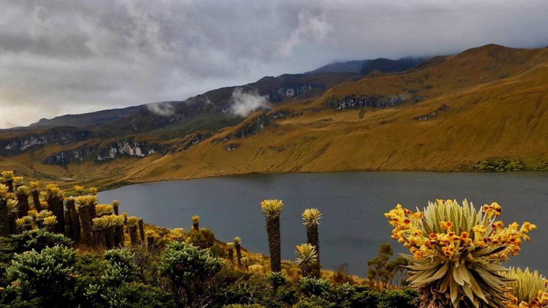
Lake Otún Trekking Guide | Los Nevados National Park
-
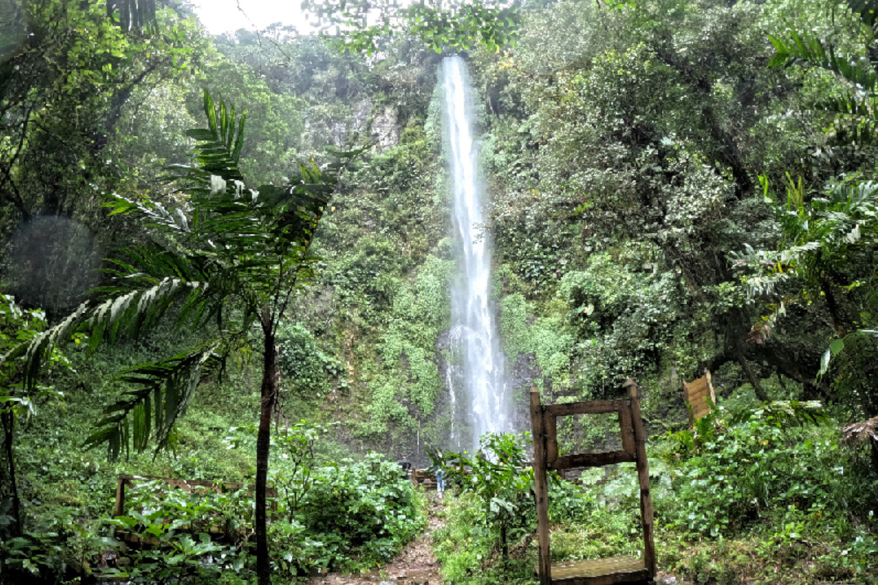
Los Frailes Waterfall Hiking Guide | Pereira, Colombia
-
Volcán Machín & La Carbonera Guide | Tolima
-
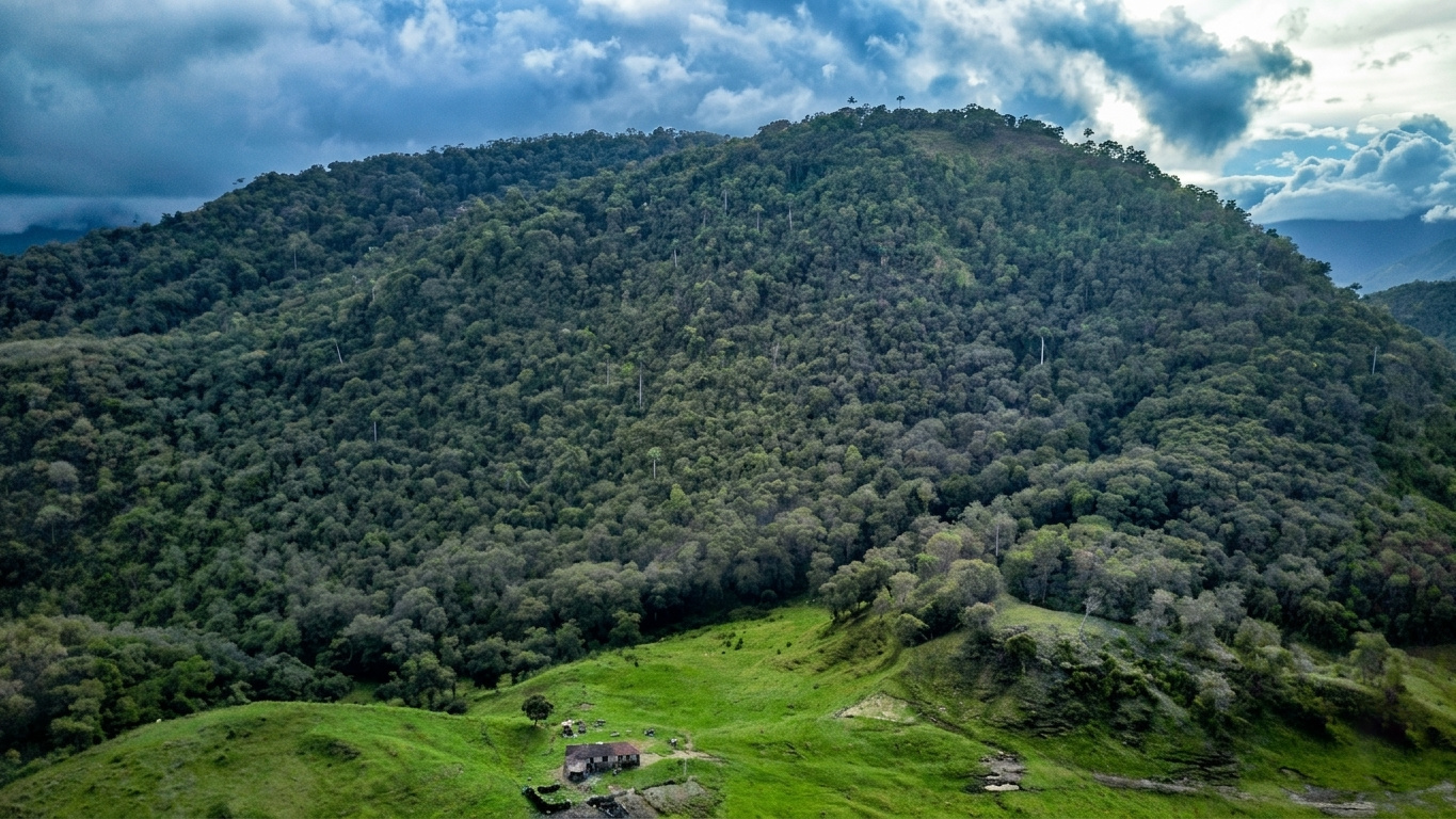
Morrogacho Hill
-
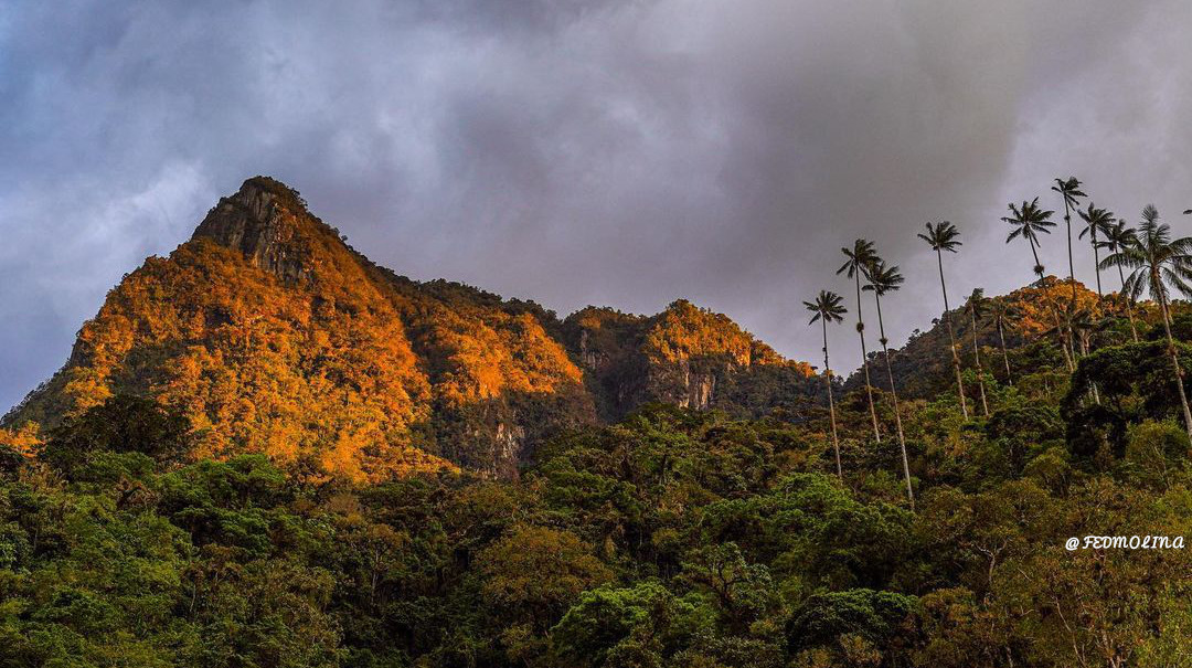
Norcasia-caldas
-
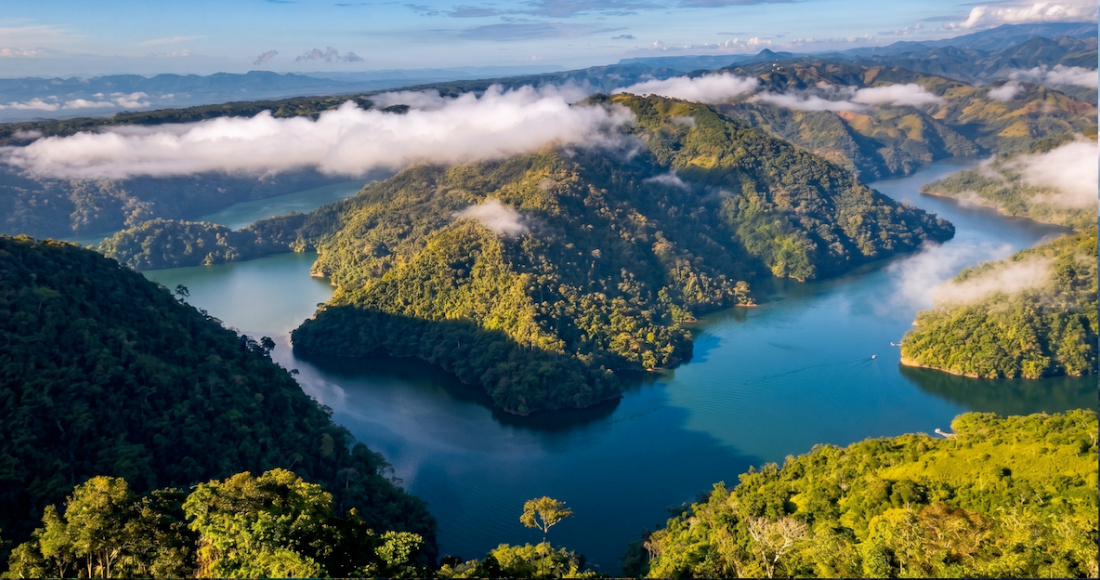
Waterfall La Pastora in Pereira
-
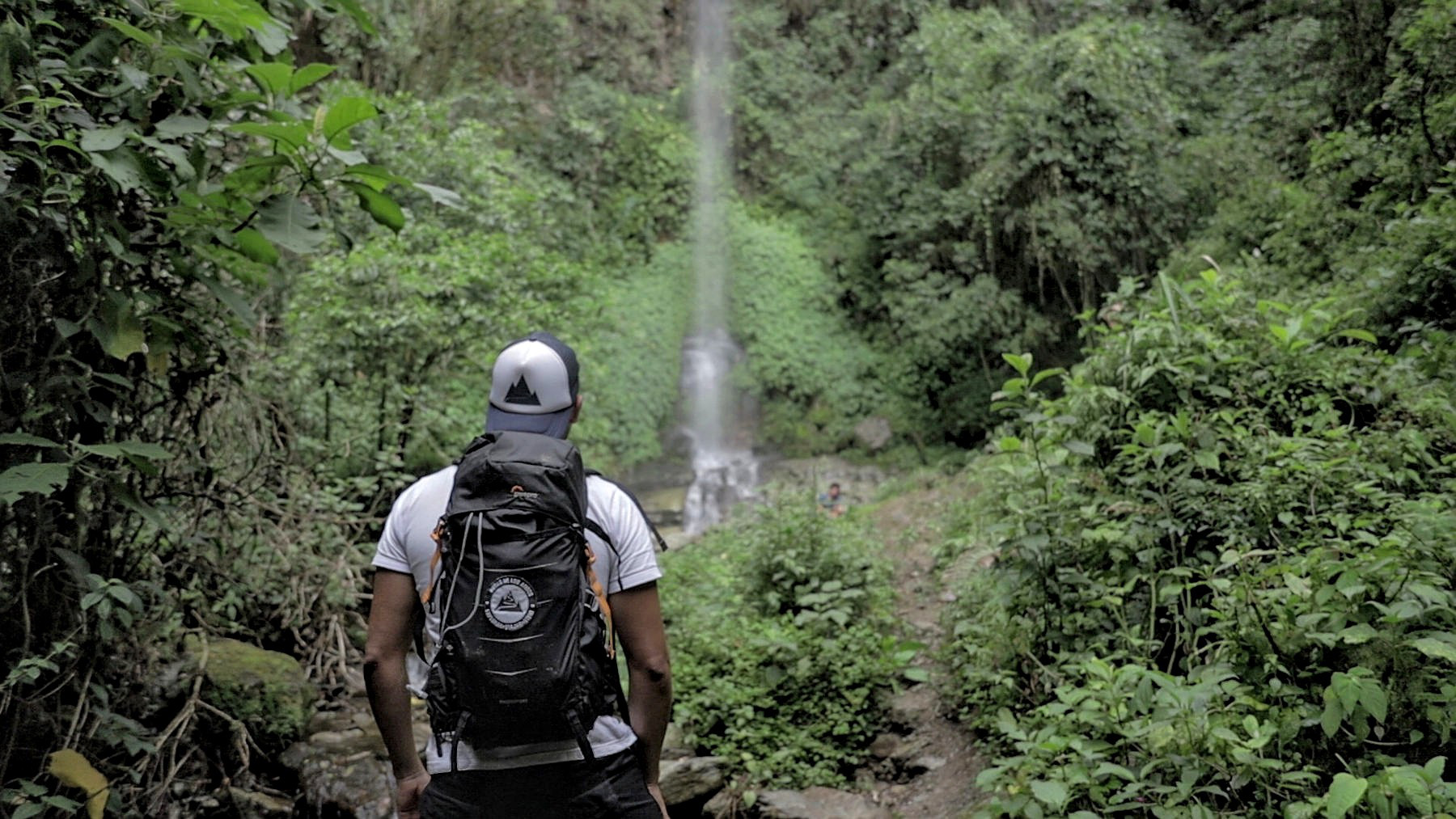
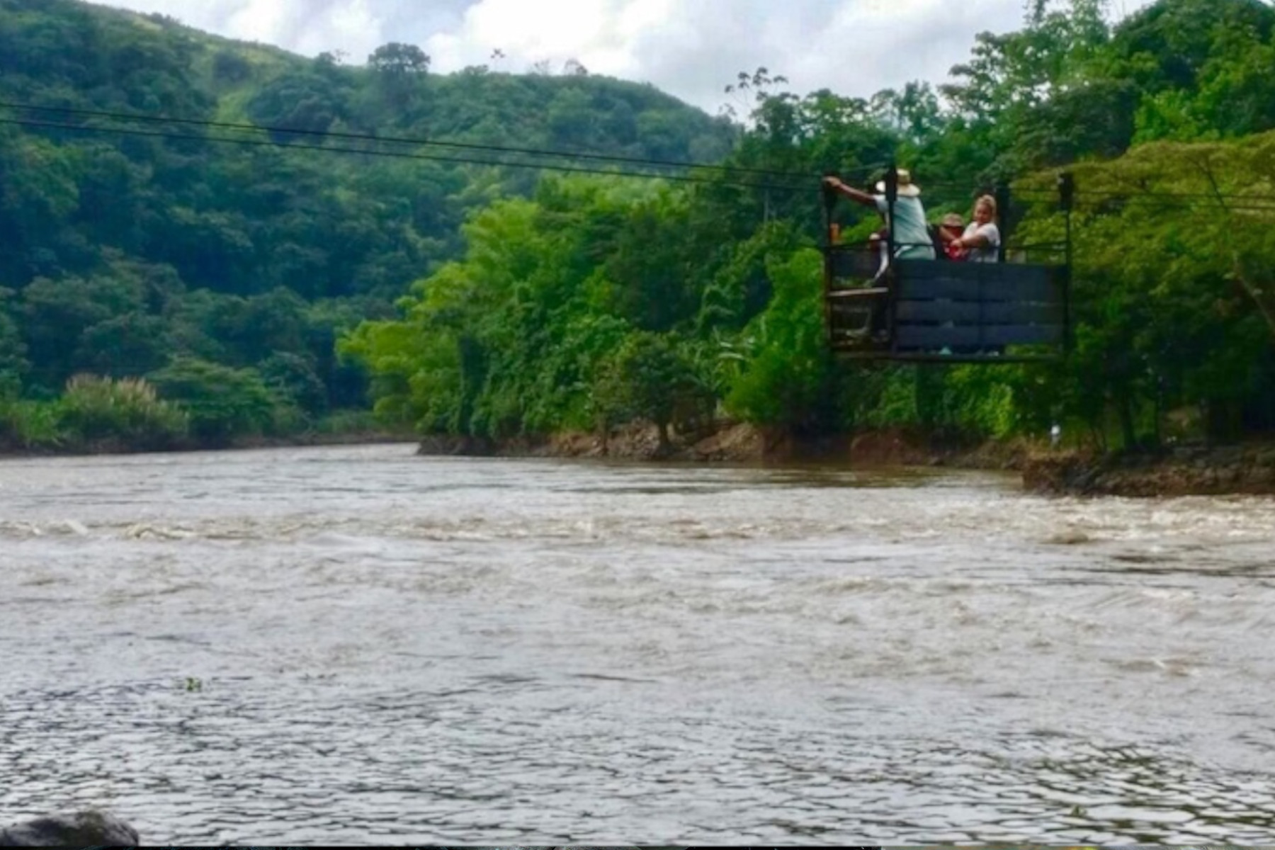
Pereira Station
-
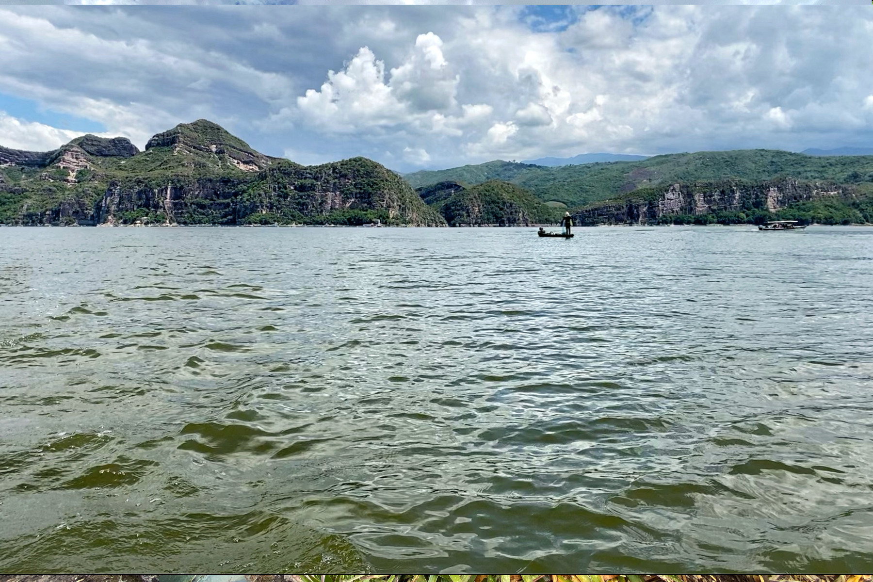
PRADO DAM IN TOLIMA
-
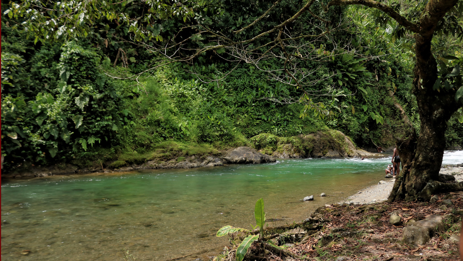
Pueblo Rico
-
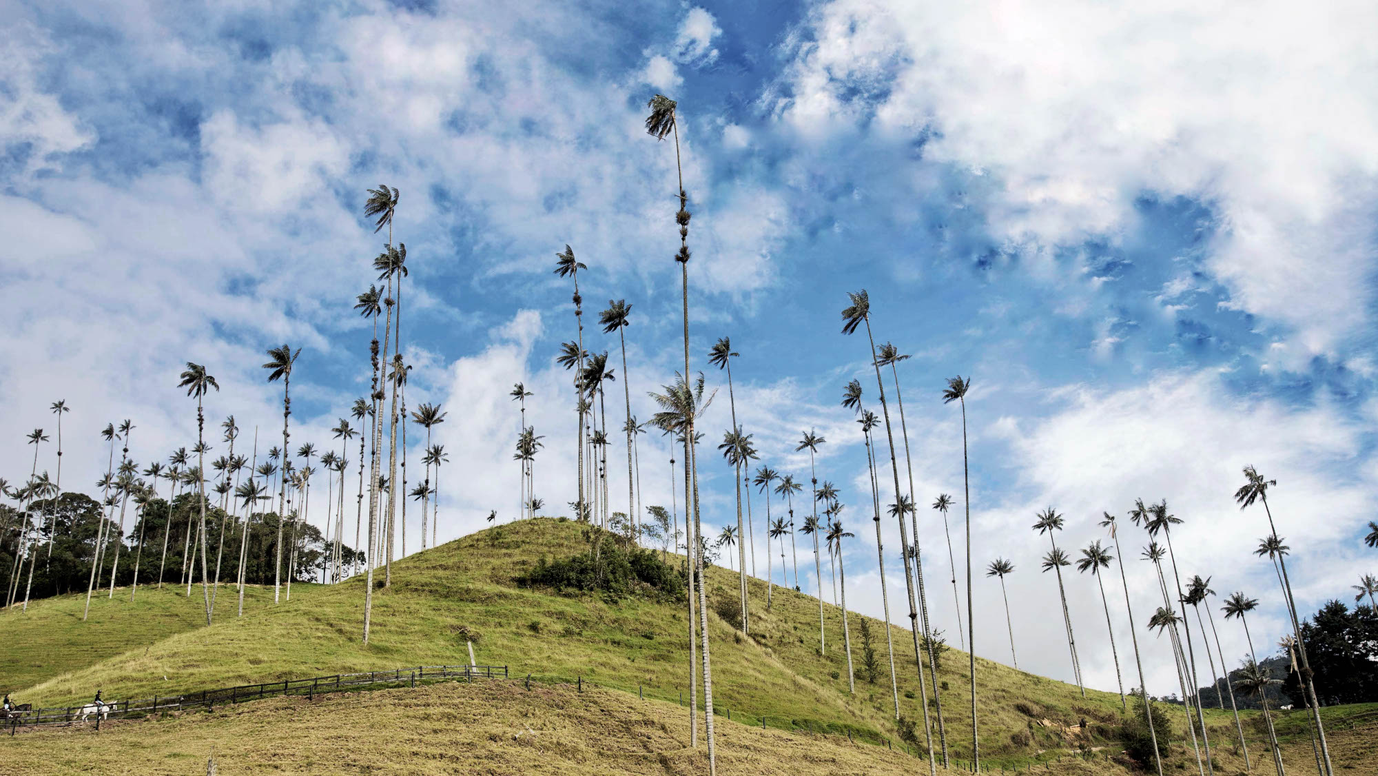
Salento and Cocora Valley
-
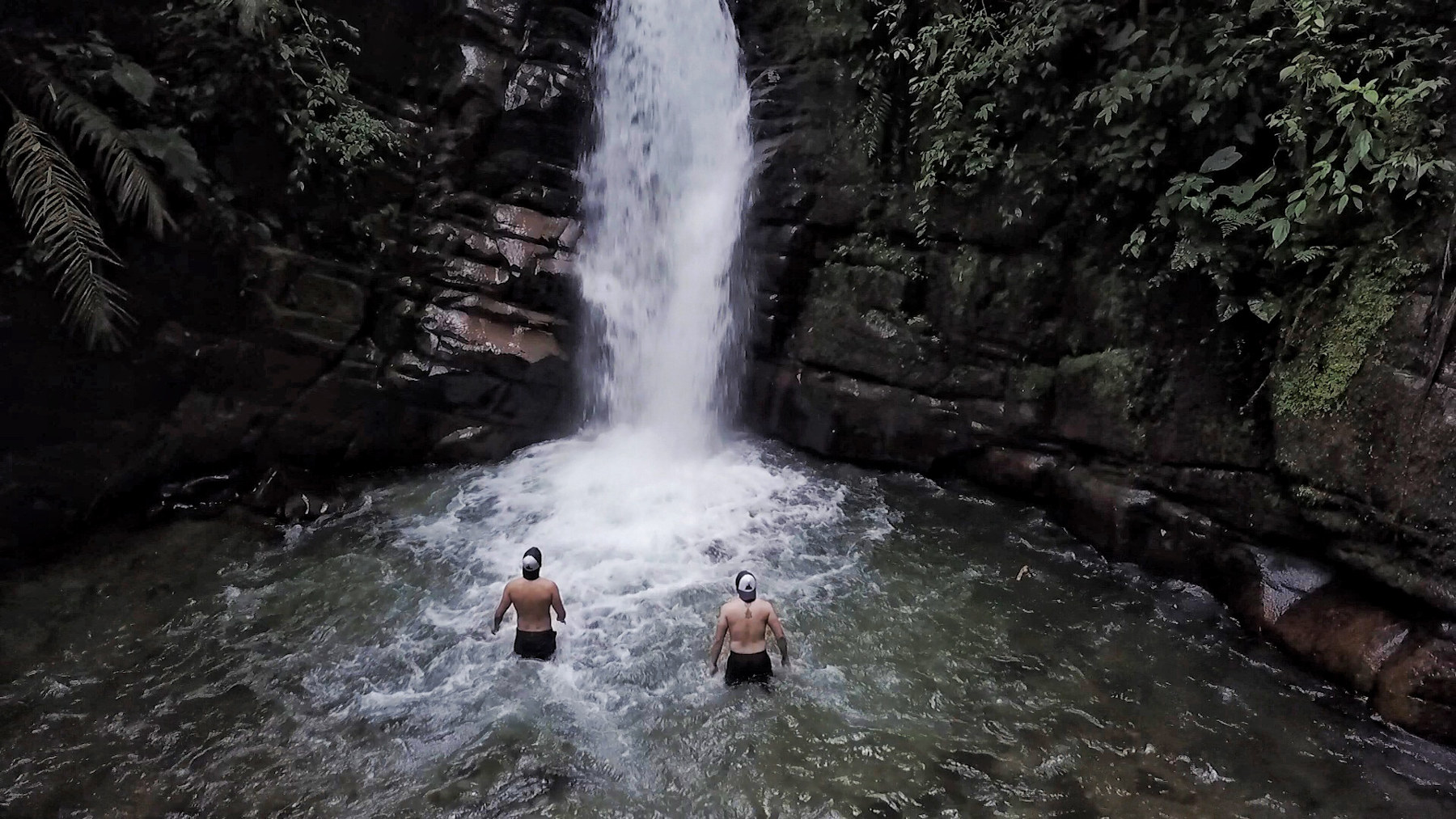
Santa Rita Waterfall
-
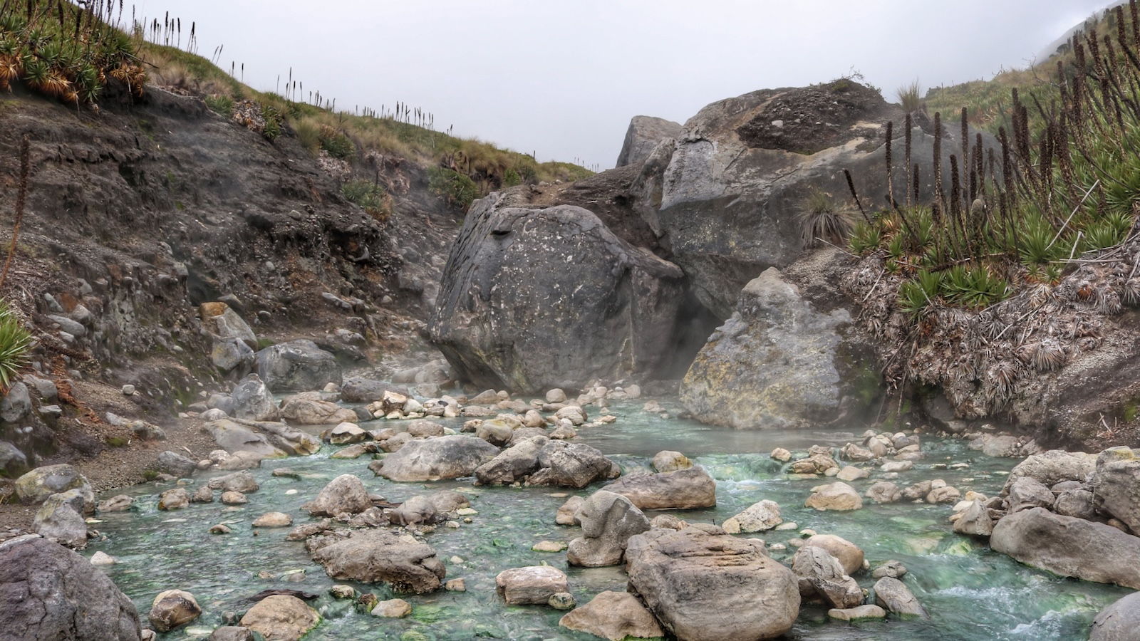
The Sifón thermal waters
-
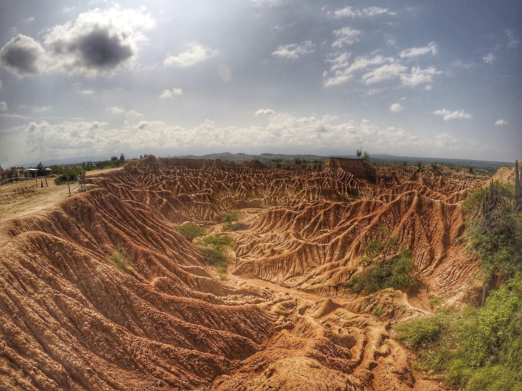
Tatacoa Desert
Want the glaciers instead? See the snow-capped mountains of Colombia, or go back to all our guides.